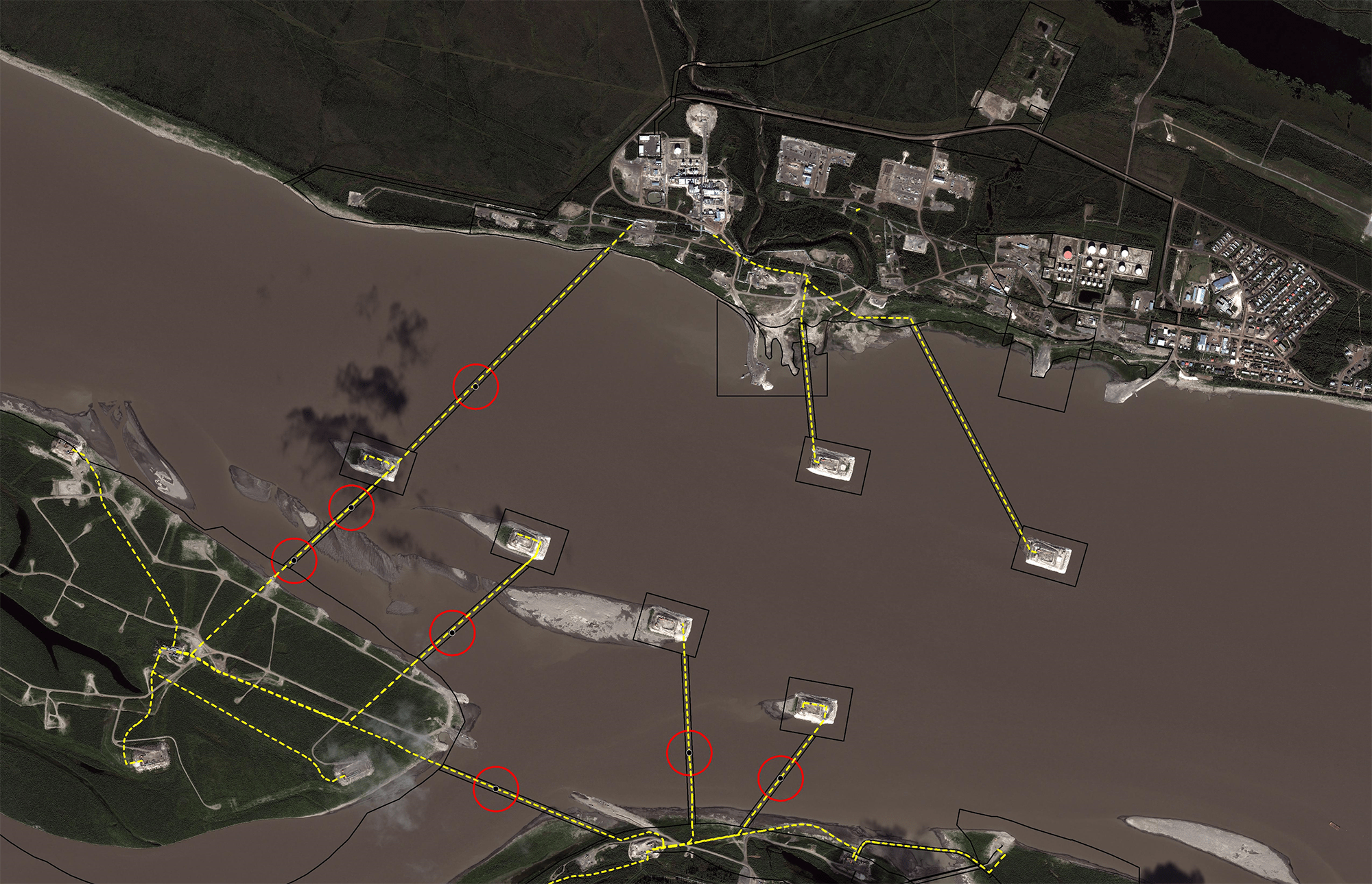
Advisian provided detailed modeling of the hydrodynamics and morphology of the Mackenzie River to determine the facilities that were at risk and provide mitigation strategies related to long term closure plans.
Client Challenge
Our Client was in the process of developing a long term closure plan for their facilities located at Norman Wells in the Northwest Territories. As part of that closure plan, they retained Advisian to undertake an evaluation of the scour potential within the Mackenzie River and the potential impacts that scour and morphology may have on the abandonment and closure of facility infrastructure.
Of particular concern was the need to identify the depth at which existing production wells should be cutoff and abandoned as well as the potential impacts on pipelines crossing the river to their processing plant. In addition, the client has production facilities on six man-made islands and are attempting to discern the best way to deal with the islands upon closure.
Our Solution
Advisian undertook a large field program to collect bathymetry information for a 10 km stretch of the river as well as acquired LiDAR in preparation for the modeling program. An initial model assessment was completed to determine the best modeling platform for the study, which resulting in the implementation of a RiverFlo-2D morphological model being created. The hydrodynamic model was calibrated against the WSC rating for the station at Norman Wells and a morphological assessment was then conducted to predict scour conditions under various return flows. At the completion of the study, a risk matrix was developed for infrastructure that is or has the potential to be impacted by fluvial processes, including ice scour and gouging. In addition to the modeling study, WorleyParsons conducts an annual field program to inspect scour abatement works for the man made islands and provides annual plans to repair damages incurred during ice break-up and the freshet period.
Value delivered
- Development of a large scale 2D river model for the assessment of scour impacts to infrastructure.
- Development of a risk matrix for infrastructure that may be impacted by fluvial processes.
- Inspection of river based facilities to identify ice gouging and scour from break-up and freshet periods
- Development of bank stabilization and scour abatement plans for facilities along Canada’s second largest river.
- Development of recommendations for long term closure of infrastructure elements that may be impacted by river movement in the near to long term.

