The West Coast Connector Gas Transmission Project, proposed by Spectra Energy, is a natural gas transmission system traversing from the Cypress area of northeast British Columbia to Ridley Island, near Prince Rupert, to support the export of liquefied natural gas. Advisian was retained to undertake the geotechnical subsurface investigation.
West Coast connector gas transmission project

The Situation
WorleyParsons – now Advisian – was retained, in Joint Venture with Fluor, by Spectra Energy Corporation to undertake a geotechnical subsurface investigation along the westernmost 150 km of the proposed natural gas transmission system in the Nass Area north of Terrace, British Columbia.
Approach
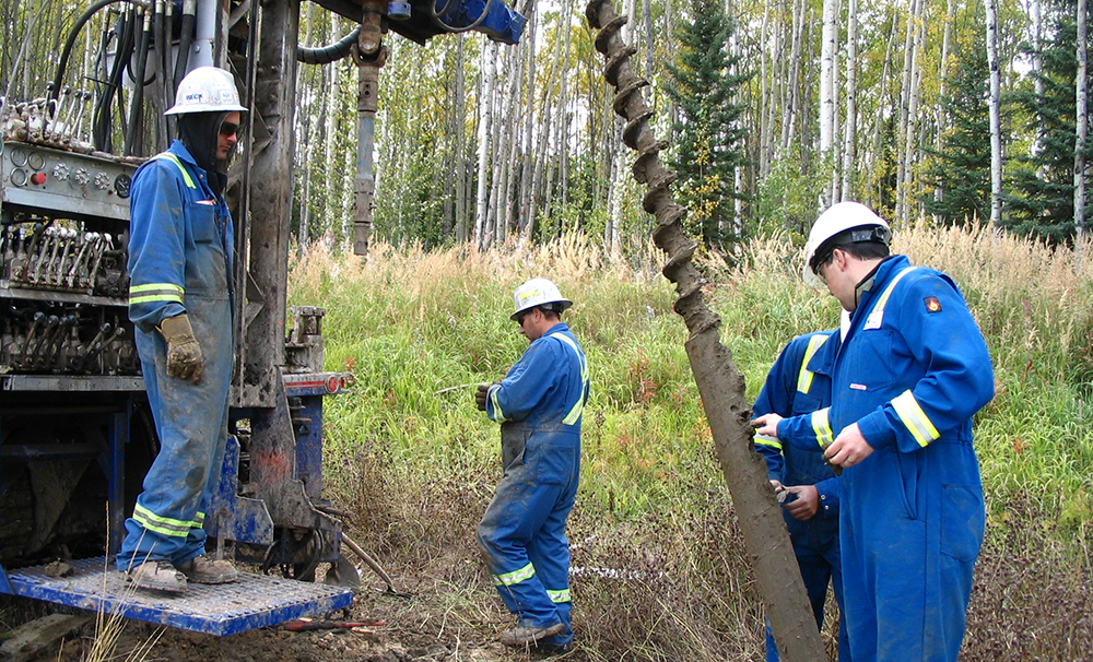
The field investigation involved geotechnical drilling, soil sampling and geotechnical laboratory testing to support interpretation of geotechnical design. The investigation utilized a combination of track, truck and heli-portable drill rigs to adapt to difficult to access and remote locations and drilling requirements. A combination of wet rotary, percussion down-the-hole hammer (ODEX) and HQ3 bedrock coring methods were used to adjust to the difficult and unfavorable ground conditions encountered at many of the locations.
Results
Based on the findings of the geotechnical subsurface investigation, Advisian prepared a factual geotechnical investigation report. The results of the report were used by other Advisian and WorleyParsons engineering disciplines as inputs to provide recommendations to Spectra on the following:
- Engineering design
- Assessment of the constructability and limitations of working in glaciomarine soil deposits
- The proposed pipeline route and crossing types
Advisian also completed a geohazard assessment to evaluate slope stability, avalanche and debris flow zones, river, road and rail crossings, active fault zones, the availability of borrow materials and acid rock drainage susceptibility.
A desktop study including air photo and lidar imagery interpretation and analysis of surficial and bedrock geology and existing subsurface investigations was undertaken to identify target areas of high concern to be investigated in the field. Non-intrusive field programs were completed to compile and evaluate data on the geohazards at target sites and to determine the level of risk to the pipeline. Results from the field investigations were used as inputs into the final geohazard assessment, engineering design, quantities and material take-offs, regulatory filings and cost estimates.
